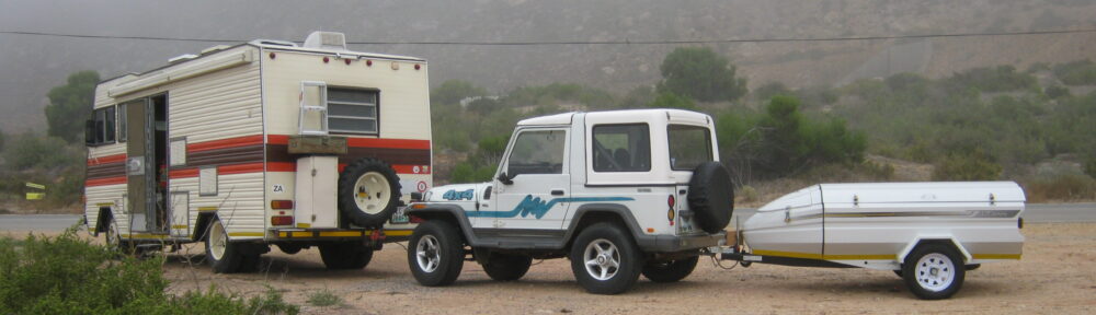
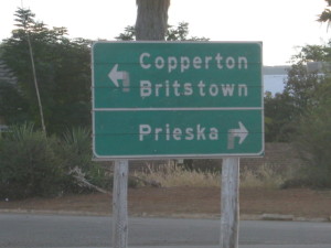
Clear directions…
240km South West of Kimberley on the R357 lies Prieska. The town is on the bank of the Orange River, at the foot of the Doringberg. Originally the town was named, Prieschap. This Khoisan word means “place of the lost she-goat”
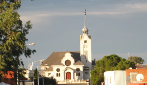
Church in Prieska
The New Dutch Congregation of Prieska was founded in 1878, and the village won municipal status in 1892.
The railway line from De Aar, (that was eventually extended to Windhoek in Namibia) reached Prieska in 1905 and for the next few years the town was the railhead for a large sheep farming district.
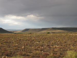
the region
The main farming products are karakul pelts, marino wool & mutton, lucern, wheat, cotton, fruit and sultana grapes. Irrigation is from the river. There are several pans in the district – some of which are used to produce salt.
Copper mining (with silver as a by product) took place till the end of the 20th century at Copperton, 70km southwest of Prieska. The ore deposits, which exceed 25 million tons, was discovered in 1969 and mining began the following year.
Attractions:
- A semiprecious stone, the tiger’s eye, of which a fine collection can be viewed at the municipal offices
- A british fort that was build of unprocessed tiger’s eye during the Anglo Boer War
- A large variety of indigenous succulent plants at the Ria Huishamen Aloe Garden
- Ancient San (Bushman) rock art can be seen on several farms in the district
- The Memorial garden in town – graves of the British soldiers killed during the Anglo-Boer War
- A riverine recreational resort at Die Bos – +/- 4km from the town centre
NORTHERN CAPE A-Z – DIAMOND COAST, WEST COAST, KAROO & KALAHARI
Off the Beaten Track!